
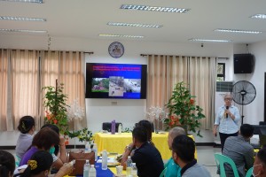
Iloilo City – The Mines and Geosciences Bureau VI, Department of Environment and Natural Resources attended the sectoral workshops concerning the integration of disaster risk reduction and climate change adaptation (DRR/CCA) as part of the process in updating the Comprehensive Land Use Plan (CLUP) of the municipality of Zarraga, Iloilo last May 24, 2023, at the municipal conference room.
MGB VI geosciences division chief Mae Magarzo heeded the invitation for her to give a lecture on understanding geologic hazards during the workshop. Municipal Mayor Ma. Jofel M. Soldevilla welcomed the participants composed of department heads, sangguniang bayan members, and national government agencies, saying the input of government agencies is vital in updating the CLUP.
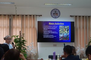
Ms. Mae Magarzo presented the different geologic hazards focusing on rain-induced landslides and floods. The geologic hazard maps with the 1:10,000 scale show the susceptibility of areas to rain-induced landslides and floods using the classifications of low, moderate, high, and very high. The geohazard map is useful not only to locate disaster-prone areas but also to identify relocation sites and provides inputs in preparing and updating the local government’s Comprehensive Land Use Plans (CLUPs). Hence, it is not just a disaster area predictive tool but also a guide to safety, explained Magarzo. (MGB VI)
(MGB VI)