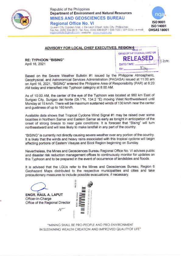
 Iloilo City – Based on Severe Weather Bulletin No. 1 issued by the Philippine Atmospheric, Geophysical and Astronomical Services Administration (PAGASA) at 11:00 A.M. on April 16, 2021, “BISING” entered the Philippine Area of Responsibility (PAR) at 6:20 A.M. today and intensified into a Typhoon category at 8:00 A.M.
As of 10:00 A.M., the center of the eye of the typhoon was located at 960 km. East of Surigao City, Surigao del Norte (09.1 °N, 134.2 °E ) moving West Northwestward until Monday at 15 km/h. There will be maximum sustained winds of 130 km/h near the center and gustiness of up to 160 km/h.
Available data shows that Tropical Cyclone Wind Signal No. 1 may be raised over some localities in Northern Samar and Eastern Samar as early as tonight in anticipation of the onset of strong breeze to near gale conditions. It is forecast that “Bising” will turn northeastward and will less likely to make landfall in any part of the country.
“BISING” is currently not directly causing severe weather over any portion of the country. It is likely that the winds and heavy rains associated with this tropical cyclone will begin affecting portions of Easter Visayas and Bicol Region beginning on Sunday.
The LGUs are advised to refer to the Geohazard Maps issue by the Mines and Geoscience Bureau, Region 6 to the respective municipalities and cities, and take precautionary measures, and consider possible evacuations if necessary. (MGB-6)
