
 The Mines and Geosciences Bureau Regional Office No. 6 (MGB RO 6) of the Department of Environment and Natural Resources (DENR) is set to conduct a vulnerability and risk assessment (VRA) of fourteen municipalities in Region 6 this year.
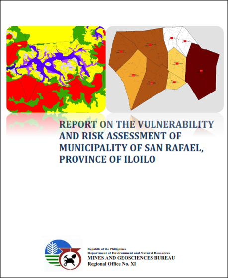
Regional Director Leo Van V. Juguan, CESO V said that the VRA is a continuing program of the MGB in line with the geohazard assessment and mapping program of the government. In 2017, we have a target of conducting the VRA in 14 municipalities in the provinces of Aklan, Antique, Capiz and Iloilo.
The VRA will be conducted in Banga, Batan and New Washington in Aklan, Belison in Antique, Panit-an, Dao and Roxas City in Capiz and Badiangan, Cabatuan, Guimbal, Tigbauan, Miagao, New Lucena and Mina in Iloilo.
In 2016, VRA of Oton, Leganes, Zarraga, Pavia, and Barotac Nuevo, Iloilo, Laua-an, Patnongon, San Jose and Barbaza, Antique, Numancia, Aklan, Sigma, Capiz and San Enrique, Negros Occidental were completed.
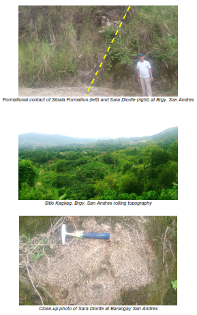
Ms. Mae Magarzo, Chief of the Geosciences Division explained that the VRA is an assessment of the degree of vulnerability and potential risks of an area given the exposure of these three elements, population, built-up areas and roads, to rain-induced landslides and floods. She said that the 1:10,000 geohazard mapping of the MGB was completed and gave information on the level of vulnerability of barangays and sitios to rain-induced landslides and floods from low, moderate, high and very high. Taking this information further, the VRA will produce data on the number of population, the extent of built-up areas, and roads that will be affected given their exposure to the varying levels of vulnerability to landslides and floods.
The final output of the VRA are risk exposure maps which serve as decision-making tool that the local government can use in their preparation for and post-disaster planning.
RD Juguan said that the MGB RO 6 has been closely coordinating with the local government units and providing them with such information that can be gathered from the VRA. “Our office has really been in the forefront of conducting field surveys and assessments to give more relevant information on geologic hazards, the risks and vulnerabilities of localities and recommendations on what possible measures can be done to mitigate the impacts of these natural hazards,” RD Juguan said. (LAA/MGB6/IEC)