
Iloilo City – A team from the Mines and Geosciences Bureau (MGB) Regional Office 1 conducted a vulnerability risk assessment (VRA) at the municipalities of Pilar and President Roxas in the Province of Capiz from August 1-24, 2016. The VRA is part of the national geohazards mapping program of the DENR-MGB which aims to capacitate the local government units to “anticipate, cope, resist and recover” in the face of natural hazards such as landslides and floods.
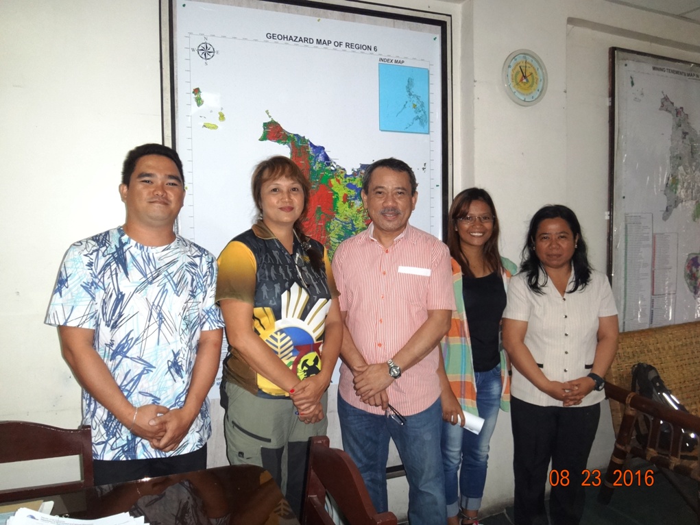
(L-R) Lester T. Valdez, Joan F. Moreno and Hazel C. Tuprio of DENR-MGB RO 1; RD Leo Van V. Juguan and Dr. Leilanie O. Suerte of DENR-MGB RO 6.
The DENR-MGB RO 1 team is composed of Hazel C. Tuprio, geologist; Joan F. Moreno, Administrative Assistant III and Lester T. Valdez, Cartographer II.
Regional Director of DENR-MGB RO 6 Leo Van V. Juguan said that the DENR-MGB embarked on fast-tracking the geohazard mapping of regions that were heavily affected by typhoon Yolanda. MGB regional offices all over the country prioritized to channel their human and technical resources to Yolanda-affected regions by sending teams to conduct the geohazard mapping and VRA in these regions. Regions 6, 7 and 8 are recipients of this assistance from other DENR-MGB regional offices.
With the demand for technical data on natural disaster-vulnerable data, there is really a need to augment the human resource of each MGB regional office especially geologists, Juguan said. Geologists from DENR-MGB RO 6 are likewise being sent to other regions to conduct geohazard-related field assessments. “For instance, we sent a team to map out the whole of Bohol for karst subsidence hazard due to sinkholes in May to June this year using the ground penetrating radar (GPR),” Juguan added.
DENR-MGB RO 6 has 12 municipalities as targets for VRA in 2016. These are Leganes, Zarraga, Pavia, Barotac Nuevo, Oton, Iloilo; Laua-an, Barbaza, Patnongon, San Jose, Antique; Numancia, Aklan; Sigma, Capiz; and San Enrique, Negros Occidental which is now belonging to Negros Island region (NIR).
What is Vulnerability Risk Assessment (VRA)?
The VRA is part of the national geohazard mapping and assessment of the DENR-MGB and conducting the VRA takes-off from the 1:10,000 scale geohazard maps that were already completed.
It is a participatory process of identifying and quantifying the overall vulnerabilities of cities and municipalities to geohazards by assessing the area’s exposure to these natural hazards. The degree of their effect or impacts particularly to people and infrastructures in a municipality or city are further assessed,” explained Mae Magarzo, chief of the Geosciences Division of MGB RO-6.
The scope of work include developing risk maps by evaluating existing conditions of vulnerability that could potentially harm people and critical infrastructures such as roads, schools, hospitals, and other private and government infrastructures and facilities exposed to these hazards. The geohazard maps showed which areas are most vulnerable to rain-induced landslides and floods. The VRA maps, however, will produce maps that will show roads, buildings and population at risk.
The maps should contain information that are relevant to the needs of the local government unit (LGU) and the national and regional disaster coordinating agencies for effective planning and disaster management. (LAA, DENR-MGB RO 6)